Just How Bad Will Shreveport’s Weather Get Today and Tonight?
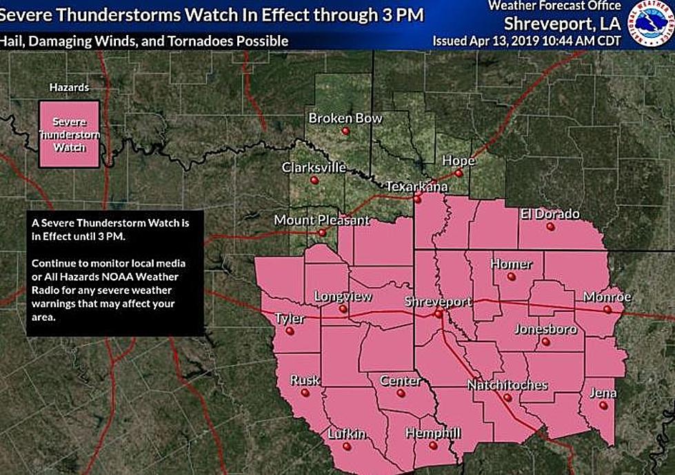
According to the National Weather Service in Shreveport, much of North Louisiana, East Texas and Southern Arkansas could see some pretty nasty weather later this evening and tonight.

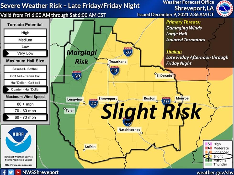
Though we are only slightly at risk for tornadoes, hail and high winds, the organization does warn us that we could see quarter to half dollar sized hail and wind speeds of up to sixty to seventy miles per hour.
It would appear, according to their forecast, areas just west of Longview are in for a little rougher of a ride as that area shows a "marginal risk" of the severe weather.
From what we've been able to learn, a line of strong to severe thunderstorms will push into our area from the northwest this evening and progress across the region to the southeast through the overnight hours tonight. It would appear the storms should exit the region to the southeast by daybreak tomorrow morning.
Obviously this is a fluid situation and we'll make sure to keep you updated with any new information as it arrives.
8 Natural Signs That Shreveport Could Be in For a Harsh Winter
Things Shreveport/Bossier People Miss Most About Childhood
Top 5 Things Never to Be Done Naked
More From 1130 The Tiger