Tropical Update – Fred Heads for Florida, Grace’s Track Uncertain
The one thing we know about tropical systems is that they go where they want to go. Despite our best efforts to nail down a track and a timetable, we're often more than a little off in our guesswork. Forecasters with the National Hurricane Center know this kind of uncertainty all too well. That's why their forecast graphics always come with a very wide margin of error on either side of their actual track forecast.
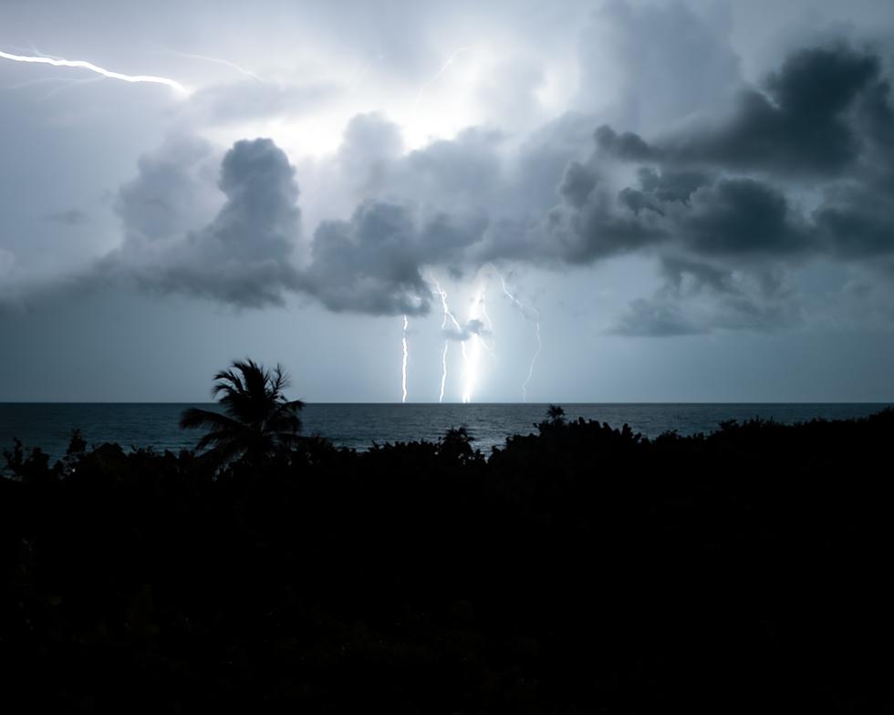
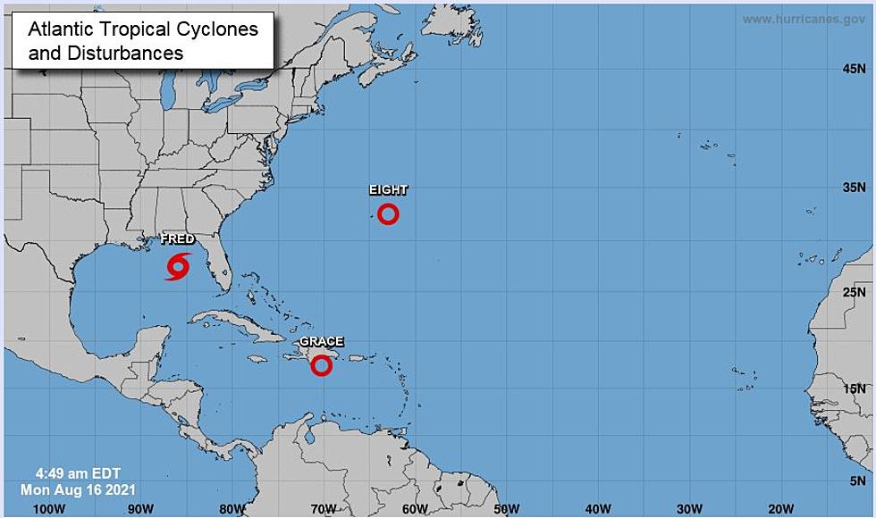
This morning in the tropical Atlantic Basin there are three tropical entities. There is Tropical Storm Fred. There is Tropical Depression Grace, and there is Tropical Depression Eight.
Let's start with the easy one. Tropical Depression Eight. Forecasters do anticipate this system will strengthen into a tropical storm. If it does, and that's expected by later this evening, it will be called Henri.

The system is about 135 miles east of Bermuda this morning. The forecast track of this system calls for it to basically circle the island over the course of the next several days. This will likely be an issue for residents and visitors to that island nation and for those with shipping interests across the Atlantic.

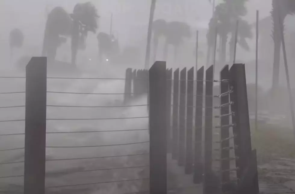
Tropical Storm Fred is poised to make landfall in Florida later today. Forecasters with the National Hurricane Center are suggesting that a slightly stronger Fred will cross the coast of Florida between Pensacola and Panama City early this evening.

Maximum winds associated with Fred are forecast to be about 60 mph at landfall. While that's not a ferocious windspeed, it is certainly enough to cause damage near the coast. The system will also drive a lot of water onshore too. Storm surge warnings have been posted for a large portion of the Florida Panhandle's coastline. The effects from Fred will be barely noticeable in South Louisiana.
Tropical Depression Grace was once on a beeline toward the Louisiana coast. However, model guidance has shifted and the thinking for right now on where Grace might go appears to be well south of Louisiana. That's one scenario.

Another scenario suggests that circulation around Grace will interact with the high terrain of Hispaniola and that could cause the system to just fall apart. As of now, even the most robust forecast models don't give Grace much of a chance of being much more than a minimal tropical storm.
Again we caution, the track and intensity forecast for Grace is very uncertain at this time. If it makes it out of the Caribbean and into the Gulf of Mexico it will bear watching closely for any changes in strength and track that could happen almost overnight.
But for now, the best guess from the Hurricane Center is a very weak storm system that may stay further to the south than was anticipated over the weekend. I guess that means our only issue will be the heat and the mosquitoes.
10 Handy Home Remedies to Take the Itch Out of Mosquito Bites
More From 1130 The Tiger