Tropical System Could be a Soaker for Lafayette Weekend Plans
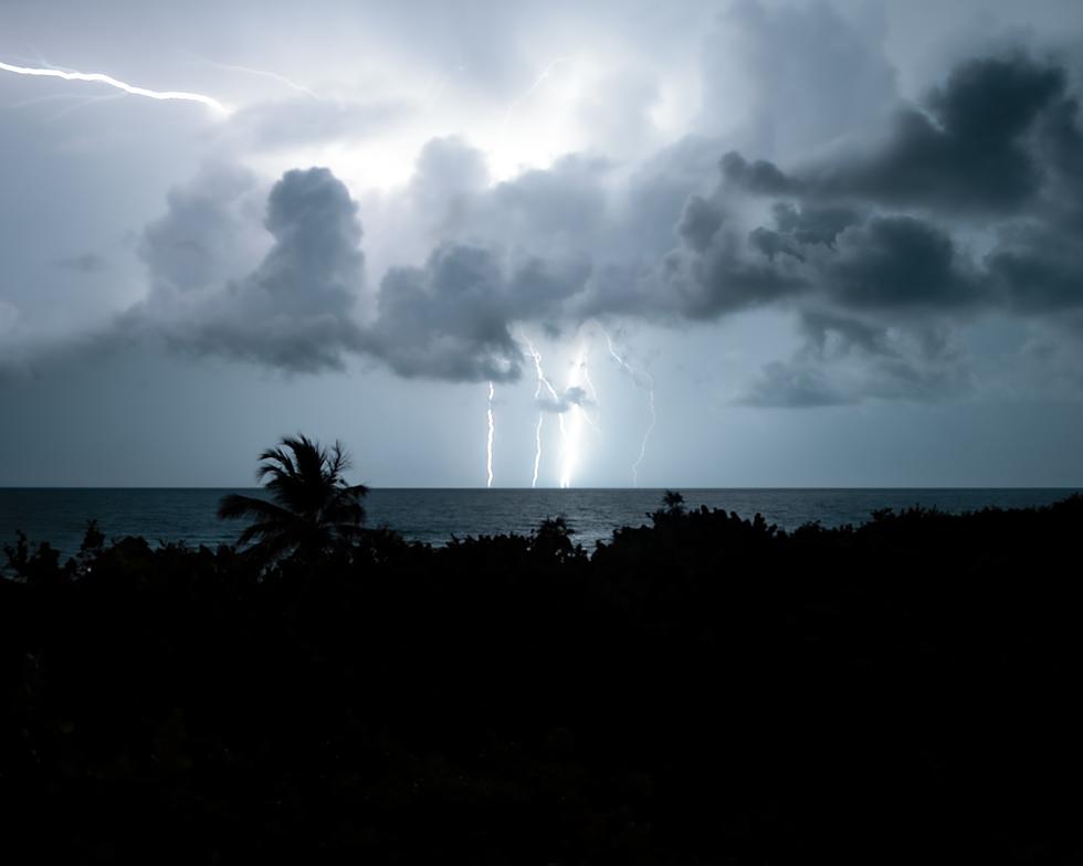
I have been watching satellite loops of disturbed weather over the Bay of Campeche for a few hours this morning. Just to look at what is going on in that part of the southwestern Gulf of Mexico you wouldn't think there would be anything ominous about to form. The fact is, there might not be. But then again, this is June in the southwestern Gulf and history tells us, we better watch those clouds some more.

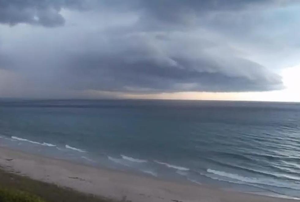
Forecasters with the National Hurricane Center are watching those clouds and scattered storms this morning too. In fact, the Hurricane Center believes this disorganized area of disturbed weather will get organized over the next day or so, and by Friday we could be monitoring a tropical depression or tropical storm just south of Louisiana's coastline.
The current thinking from the Hurricane Center calls for a 70% probability of a tropical cyclone forming out of this weather system. The projected path for that system is in the general direction of here. Also known as the northern Gulf Coast.

Now if I was a betting man, I wouldn't plunk my rent money down on a big storm spinning up and creating a lot of chaos. Some of the forecast models are still not developing this system at all. Other models pull the system into Mexico while still other model runs bring the inclement weather into Texas.

That's a long way for us to tell you, we are simply going to have to watch this system over the coming days to see what, if any, effects it will have on South Louisiana.
Rob Perillo, one of the best tropical meteorologists in the business is leaning in the direction of soaking rains for Acadiana by the weekend. Several of the model runs that do bring this system across the Gulf of Mexico also show it dropping copious amounts of rain anywhere from Houston Texas to Mobile Alabama. If you aren't good with geography, we are right in the middle of that swath.
Many of the tropical models also develop the system into a tropical storm. Should the system get a name, it would be called Claudette. By the way, if you didn't hear, Tropical Storm Bill formed off the coast of the Carolinas yesterday and appears to be headed out to sea.
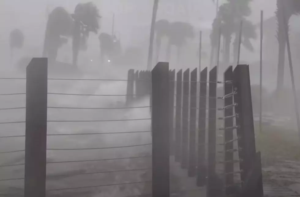
I do believe our biggest concern from this system will be in the form of heavy downpours. The good news is that the models do keep the system moving so maybe our heavy rain experience will only be confined to a 24 to 36 hour period. Unfortunately, we still have many rivers, creeks, coulees, and streams still holding a lot of water from recent heavy rains. So, flood watches and warnings will likely be needed by this weekend.
In the meantime, while we are waiting and watching the tropics, we'll have to put up with the heat.
Fun Indoor Activities to do During a Heat Wave
More From 1130 The Tiger